By David A. Granger
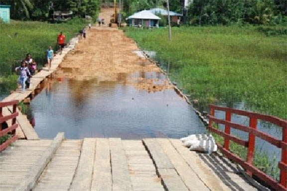
Hinterland Guyana comprises over three-quarters of this country’s territory. The Barima-Waini, Cuyuni-Mazaruni, Potaro-Siparuni and Upper Essequibo-Upper Takutu (Rupununi) and parts of the East Berbice-Corentyne and Upper Demerara-Berbice Regions – might be most picturesque parts of the country but they are the poorest.
Central Government policy over the past two decades has been dangerously dividing Guyana more deeply into two nations. It is creating an East-West divide that separates the lands West of the Essequibo River from what lies to the East. That policy has perpetuated the disparities, divergences and divisions which hinder development.
The hinterland’s population is only about 100,000 but it is home to the greater part of the nine indigenous ‘nations.’ Its potential wealth – in the form of bauxite, diamond, gold and manganese mining; stone and sand quarrying; logging and eco-tourism – is inestimable. It is a serious mistake to underestimate the spatial dimension of national development and the

