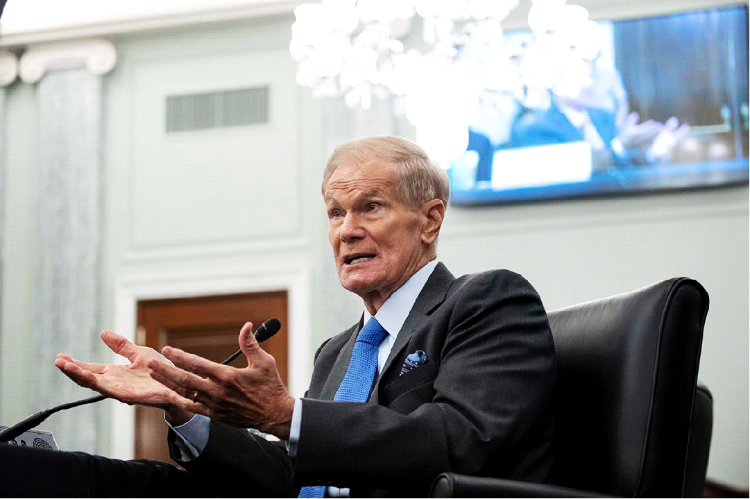
BRASILIA, (Reuters) – NASA Administrator Bill Nelson visited Brazilian space research centre INPE yesterday and proposed extending satellite partnerships with the United States to help monitor and prevent destruction of the Amazon rainforest.
Nelson said NASA will have a satellite in January that can even render images of what is happening below the forest canopy. The satellite, called NISAR, will be launched with India.
“It is going to be able to look through the canopy of the jungle so that we can see if someone has burned the undergrowth and that would ultimately kill the big trees,” he said at a news conference at INPE in Sao Jose dos Campos.
Science Minister Luciana Santos showed Nelson around INPE headquarters and explained Brazil’s space program. The agency has launched a series of satellites in partnership with China since 1999 for agricultural and environmental monitoring.
Brazil relies on satellite imagery to watch over the Amazon, but cloud cover is often a hurdle for precise and timely images.
Nelson, a former U.S. senator, met on Monday with President Luiz Inacio Lula da Silva in Brasilia.
“I thanked the president for his continuous effort to save the Amazon rainforest,” he told reporters after the meeting.
Nelson said when he flew in space 37 years ago he could see with the naked eye the destruction of the rainforest by the different colors visible from his spacecraft window.
Satellites that NASA plans to place in orbit early next year will add “extreme ability to understand what is happening” to the rainforest, he said in Brasilia.
Earlier on Tuesday, Nelson visited Brazilian plane maker Embraer EMBR3.SA in Sao Jose dos Campos and toured the production line for its narrow-body commercial E-Jets.
Nelson will continue his South American trip this week with visits to Argentina and Colombia.

