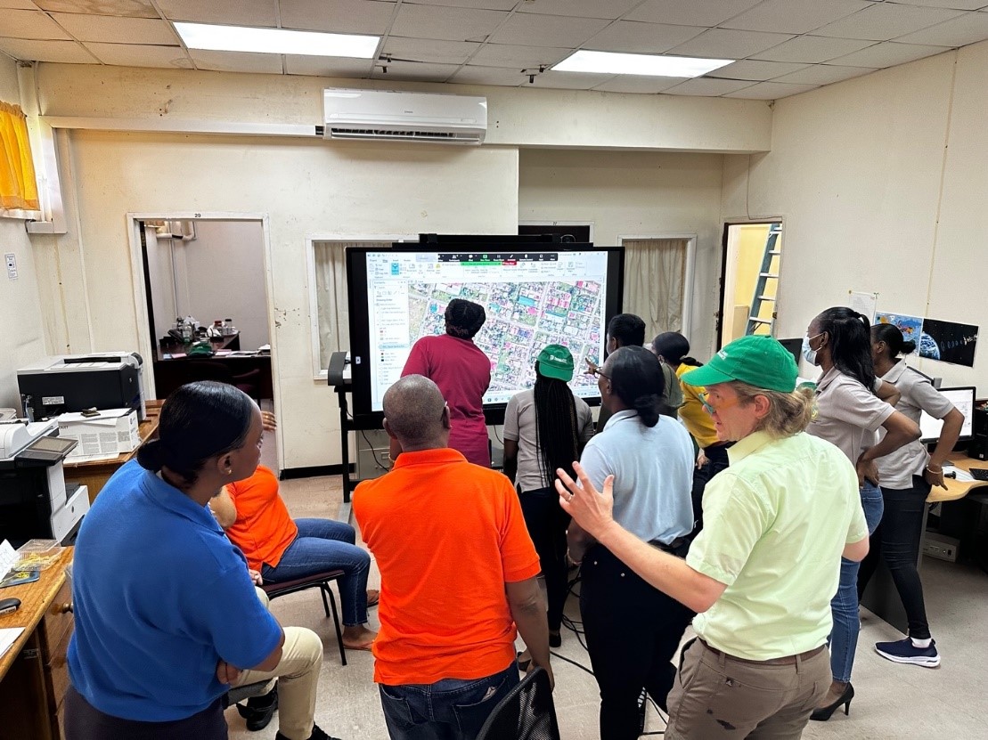
Twenty-five employees of the Guyana Lands and Surveys Commission (GLSC) recently underwent training on land mapping techniques and administration.
The training was provided by Medici Land Governance (MLG) which is based in Utah in the US.
A press release yesterday from MLG said that it recently completed a critical capacity building and training phase, which involves LiDAR (Laser Imaging, Detection, and Ranging) technology to develop accurate contemporary maps of the country’s land surface.

