PORT OF SPAIN / KINGSTOWN, (Reuters) – Hurricane Beryl strengthened as it churned toward the Caribbean’s Windward Islands today, according to officials, threatening devastating flooding and storm surges as life-threatening high winds picked up speed.
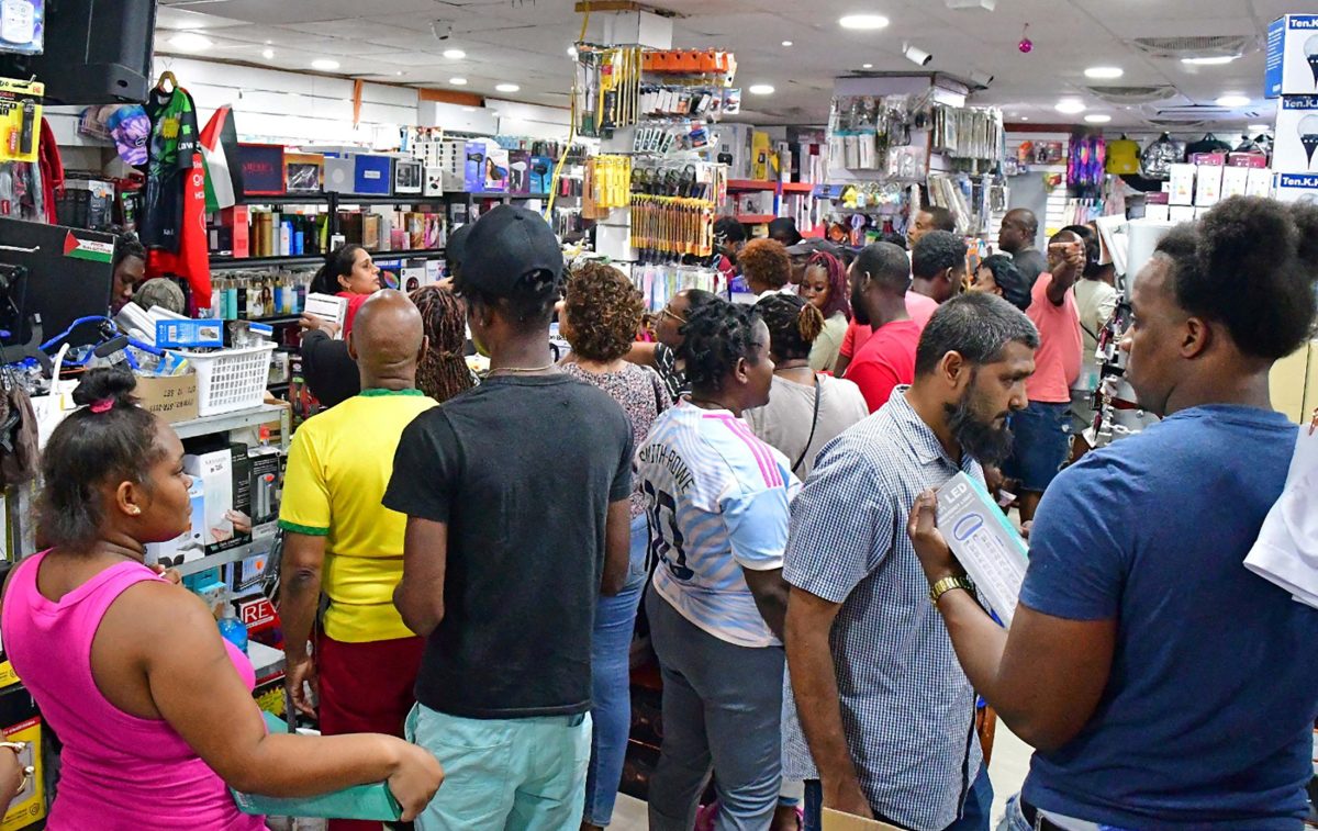
People in a broad swathe of the Eastern Caribbean boarded up shops, stocked up on food and filled their cars with fuel as the storm approached.
“This is an extremely dangerous and life-threatening situation. Take action now to protect your life!” the U.S. National Hurricane Center said in its latest advisory, urging residents in Grenada, the Grenadine Islands as well as Carriacou Island, where Beryl made landfall, according to NHC, to shelter in place due to an expected rapid increase in wind force.
Beryl’s rapid rise marks an unusually fierce and early start to this year’s Atlantic hurricane season – the earliest Category 4 storm on record, according to NHC data.
The prime minister of St. Vincent and the Grenadines, Ralph Gonsalves, said he was expecting a natural disaster that could continue for days.
In the capital of Kingstown, conditions around the main harbor worsened on Monday morning, with some damage to buildings reported, caused by intensifying winds. Video from Kingston showed waves crashing over a seawall and palm trees along the shore battered by the wind.
At Category 4 strength on the Saffir-Simpson five-point scale, Beryl is packing maximum sustained wind speeds of 140 miles per hour (225 kilometers per hour), with some higher gusts, and is located about 35 miles (56 km) northeast of Grenada.
Beryl is moving west-northwest at a speed of 20 mph (32 kmph) and is forecast to cross many of the central Caribbean’s most populated islands through Wednesday as it barrels toward the Gulf of Mexico, the NHC said.
The core of the hurricane will likely bring “potentially catastrophic wind damage” as it moves through parts of the Windward Islands, with St. Vincent and the Grenadines, and Grenada, most at risk, the center said.
A Reuters reporter on Grenada said power was down across the island.
‘SOME REASSURANCE”
In the St. Vincent community of Prospect, damage reports include some building roofs ripped off, as well as power cuts in other parts of the island.
Hurricane warnings were in effect for Barbados, St. Vincent and the Grenadines, Grenada and Tobago. A tropical storm warning was issued for Martinique, Trinidad and St. Lucia, with storm watches also issued for parts of the Dominican Republic and Haiti.
Tobago has opened shelters, closed schools for Monday, and cancelled elective surgeries in hospitals, authorities said.
“The eastern side of the island got the most battering and the seas remain dangerous. Fisherfolk got sufficient warning and were able to remove their boats from the water,” said Curtis Douglas, President of the All Tobago Fisherfolk Association.
Only limited damage to hotel properties on the island has been reported so far, according to a local hotel and tourism group.
The hurricane is expected to bring 3 to 6 inches (8 to 15 centimeters) of rain across Barbados and the Windward Islands throughout the day on Monday, with some areas seeing as much as 10 inches (25 cm), especially in The Grenadines and Grenada.
In May, the U.S. National Oceanic and Atmospheric Administration predicted above-normal hurricane activity in the Atlantic this year due largely to near-record ocean temperatures.
Canadian travel blogger “Khanadians” Nauman Khan, in a video posted from his hotel early on Monday morning while on vacation in Barbados, said the last two hours had been the most intense and described “really massive waves” in the Atlantic.
He said he had been talking with local residents. “Just knowing that people were taking it in their stride, this is a part of life in the West Indies… it gave us some reassurance.”

