-under US$165,000 project
As part of its efforts to improve and increase rice production across the country, the government will soon make drone technology and Geographic Information System (GIS) services free of charge to farmers in all rice-growing regions, a Ministry of Agriculture (MoA) release announced yesterday.
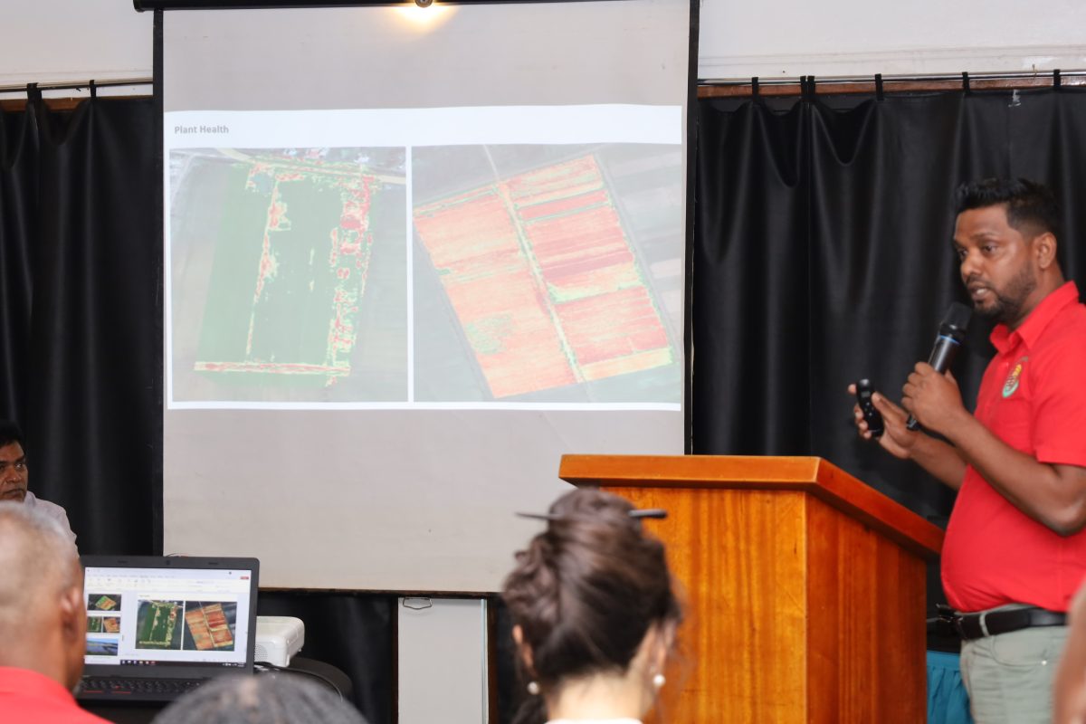
This initiative, – Enhancing Precision Farming Practices in Rice Production for Guyana’s Small Farmers Using Drone Technology programme – the MoA explained, is a collaborative effort between the Government of Guyana, the United Nations Food and Agriculture Organiza-tion (FAO), the People’s Republic of China, and the Guyana Rice Development Board (GRDB). It was piloted in regions Two, Three, and Six, and subsequently introduced in Region Five. It aims to introduce drone technology and GIS mapping to improve rice production and build capacity in the rice industry.
The GRDB yesterday hosted a closing ceremony for the programme.

