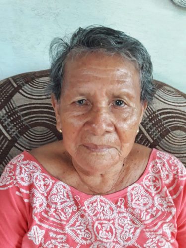
Wakapoa revisited – Part 2
Captain David Emanuel pulled his boat up at St Lucian’s Mission even as the rain poured.
For close to seven years now reporters attached to this newspaper have gone to various communities in all ten regions of Guyana, seeking to shed light on their customs, way of life and issues. Recognising that for a very long time, many of the far-to-reach places were out of sight and in several instances out of mind as well.

Captain David Emanuel pulled his boat up at St Lucian’s Mission even as the rain poured.
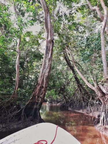
Bordered by Akawini to the south and Manawarin to the west, Wakapoa is by far one of the most peculiar indigenous villages in Guyana and possibly in the world as it consists of twenty inhabited islands that is home to its two thousand plus residents who belong to the Arawak/ Lokono and Warrau tribes.
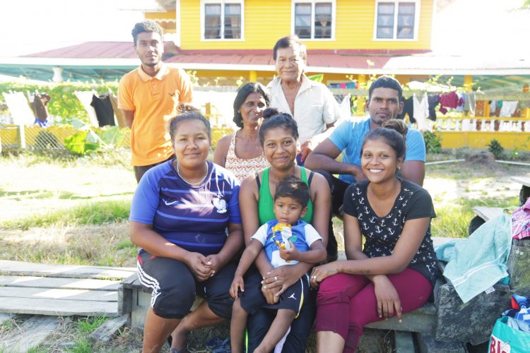
With no electricity or potable water, Bendorffers use solar panels, kerosene lamps and generators for power and rainwater for drinking and cooking, while water from the canals or the nearby Essequibo River is used to wash and bathe.
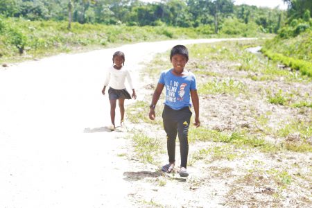
Larimakabra is a community of 18 people – a shopkeeper who lives by himself and the 17-member Williams family– located along the Parika-Hubu Road, between Naamless and Bendoroff, on the East Bank of Essequibo.
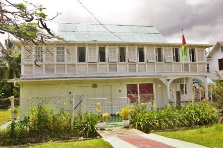
Sans Souci, a community on the north-western coast of Wakenaam Island, is home to approximately 200 people, many of whom are farmers and fishermen.
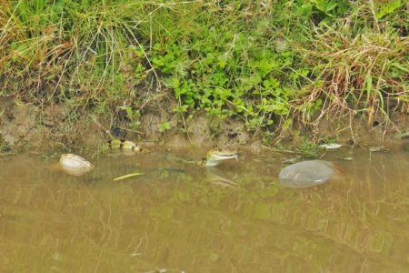
Forty-one kilometres from Supenaam on the Essequibo Coast is the village of Windsor Castle, home to approximately 650 residents, most of whom do rice farming while some do cattle rearing and fishing.
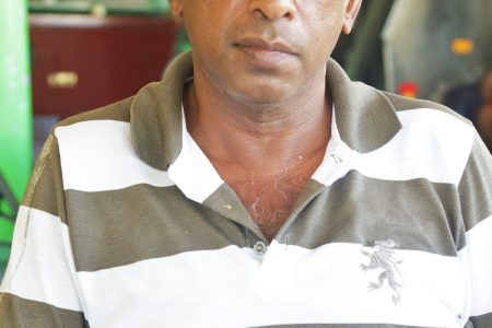
On arriving at Sparta, the small Essequibo Coast village sandwiched by Danielstown and Windsor Castle, I noticed two signs—one with the name Sparta and another, several yards ahead, which read “Fear Not.”
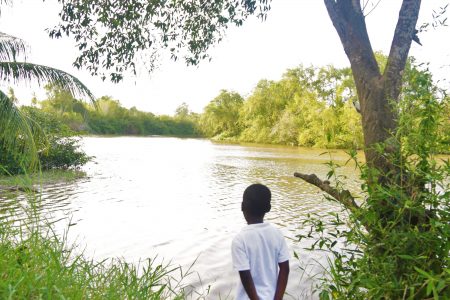
Situated on the left bank of the Canje River, Berbice, some six kilometres from Government House in New Amsterdam, Sandvoort was established in 1774.
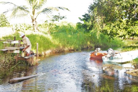
Esau and Jacob is a scenic community that sits on the outskirts of Region Five, at the very end of the Mahaicony Branch Road.
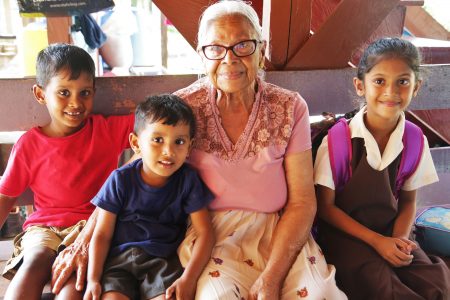
Mortice, Mahaicony, East Coast Demerara is not visible from the Mahaicony main road.
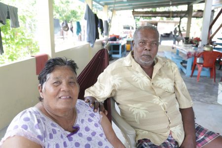
Clairmont, a tiny village in Leguan, sits between Good Intent and Uniform.
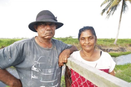
Flora Garden is situated along the De Hoop Branch Road in Mahaica, East Coast Demerara, where it is flanked by Number Ten and Handsome Tree.
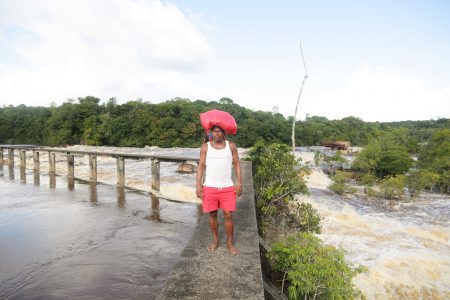
El Paso is a community located in Region Eight (Potaro-Siparuni), west of the Tumatumari Falls, a scenic haven for its less than 200 residents, most of whom are indigenous people.
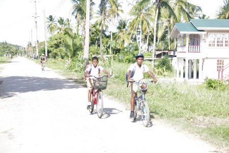
Kingston is a village in Leguan, north-west of the island’s dock and bordered by Doornhag and Tewkesbury.

Micobie is a picturesque Amerindian settlement two hours outside of Mahdia, which can only be accessed by climbing what are among the steepest and most dangerous hills in Guyana or via the Potaro River.
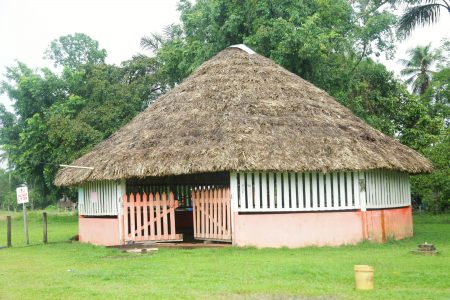
Ninety-seven-year-old Cecil Thomas was the first toshao of Campbelltown, which is the closest village to Mahdia, in Region Eight, at just a five-minute walk away.
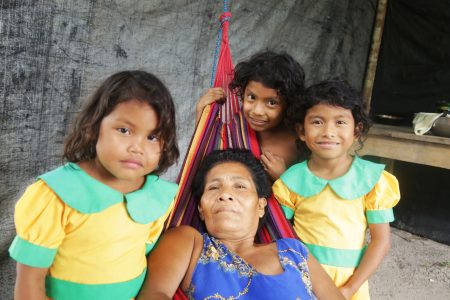
Princeville is in Region Eight (Potaro-Siparuni), a half an hour’s ride from the mining town of Mahdia and home to more than 100 residents who are still learning to co-exist with the wildlife that was there before them.
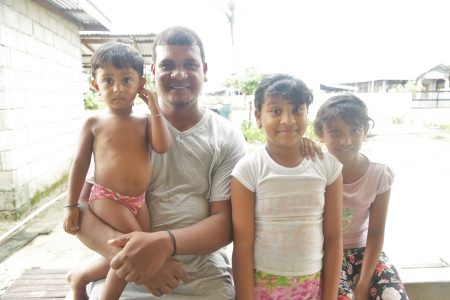
Present Hope, East Bank Essequibo, bordered by Saint Lawrence and Lookabu, is a haven to the more than 100 people who call it home.
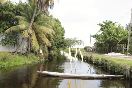
Nestled at the far end on the left bank of the Mahaica River, 28 miles from Georgetown and surrounded by rice fields, is the fairly large village of Cane Grove.
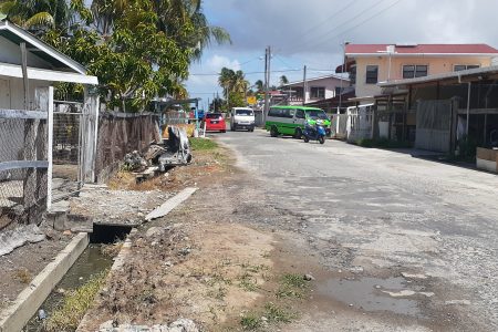
In Clifton Settlement, which was once known as Port Mourant, then Tain, located along the Corentyne highway in Region Six, fish vendor Angela Naidu wakes at 2 am to head to work on most days.
The ePaper edition, on the Web & in stores for Android, iPhone & iPad.
Included free with your web subscription. Learn more.